Why Is Drainage Required In Land Development?
Drainage considerations in land development:
It is estimated that planet earth is just over 4.5 billion years old and it has been naturally collecting, absorbing, distributing, and draining water for that long. The word billion has become a catch word in popular jargon; to the point that it minimizes just how big a number it really is. I did some break-down thinking to visualize earths age so I could wrap my brain around it. One billion is one thousand million - but looking at earth’s age as 4 1/2 thousand million years didn’t help that much.
Instead of breaking it down, I tried using reverse logic. I tied it into an even bigger number! Jeff Bezos, with an estimated net worth of 160 billion, has 35.6 times more net worth in dollars than the age of the earth in years. That makes earth at 4.5 billion seem almost understandable by comparison. Before brain draining myself completely, it seems time to move along to the drainage of water, our subject of today.
Water equilibrium:
Nature loves balance. When there is more of a particular element in one place, the laws of physics move it to another place to establish an equilibrium. It’s exactly like that with water molecules. Once saturated or overflowing in one area, water will move to another place to balance itself out. Sometimes it is collected in defined points like ponds or lakes, other times it moves elsewhere as in a river. Three examples of naturally occurring water movement are rainfall runoff, snow melt and storm surge.
Drainage plan design:
The engineer needs to calculate the effect of roads, side streets, other impervious improvements and then figure out how to provide artificial drainage that complies with Code. An additional goal is to mimic as closely as possible what would have been a natural drainage pattern. The engineer is also required to take into account off-site effects and to be fully compliant with those requirements. Now you know one good reason why engineering costs for a project are as high as they always seem to be!
The design, complexity and cost of a drainage plan is tied to topographical conditions such as slope characteristics, off-site provisions needed for on-site infrastructure and in particular, geotechnical & soil conditions. Sandy soil conditions allow for better and faster absorption, but also can present challenges if retention of water is required. Alluvial soil is typically ideal for plant growth, but has a tendency to present washout problems with heavy runoff. In fact, alluvial soils were accumulated in the first place via washout, which is why you frequently find them in river deltas. Soil surveys are available and more about that later.
Why we need artificial drainage:
Naturally occurring drainage works fine if you are talking about a stream that flows in a well defined stream bed. It gets problematic if the stream bank is flat and seasonal flooding happens. As land developers, we have many good reasons to re-route water artificially and that requires an approved drainage plan for the project. The drainage plan has to take into account not only the surface routing, but also the effect it may have on subsurface conditions like aquifers and other key geotechnical factors. When we change one thing it can affect many things as our engineer partners clearly know.
Drainage in land development projects:
The two kinds of drainage most relevant to land developers are point drainage and channel drainage. The names are pretty self-explanatory - in point drainage we define and construct key points at which water collection occurs. From those locations water is further routed through underground pipes to areas of collection or outfall. Channel drainage collects water along the entire channel route, like the ducting used for roof gutters on a house.
Point drain:
Retention / Detention Ponds:
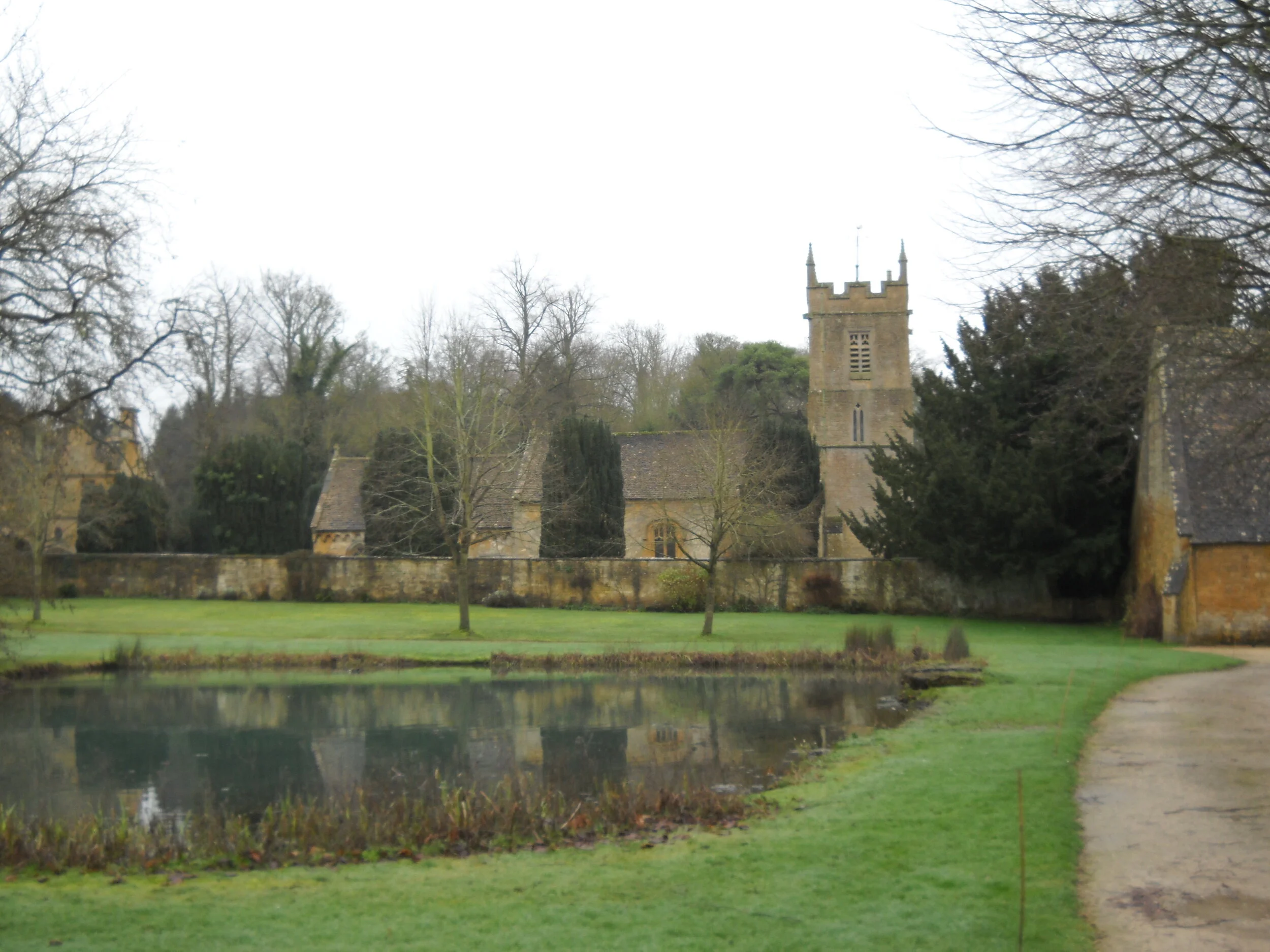
Water routed in a land development project is typically retained or detained in ponds. A retention pond is used to intentionally keep the water on-site. A good example is in Florida where the heavy summer rainfall is collected and retained for irrigation purposes.
In residential projects, retention ponds are sometimes constructed to sprinkle landscaping or irrigate golf courses. Retention ponds are also commonly used in farming to store water for crop irrigation and in ranching to water livestock.
Another retention variant is reservoirs that are part of a public utility water system, where the collected water is retained, filtered and treated to make it potable for domestic use.
Detention ponds are dry ponds used to collect water after heavy rainfall, snow melt, or significant runoff events. The purpose is to prevent uncontrolled flow so that damage to the surrounding environment is mitigated. A detention pond is engineered to handle the anticipated water volume and in turn, to distribute it in a controlled fashion. Distribution can be a combination of ground absorption, controlled outflow like pump-to-storm-sewer, or even simple evaporation.
Either pond type is typically machine excavated, or constructed as an above grade embankment. No matter which type is required, they absolutely need to be properly engineered and constructed otherwise you are going to have big problems. What good is a retention pond if we didn’t properly factor required impervious layers like tile, clay or hardpan that prevents the unwanted loss of the retained water? That makes a wet pond a dry pond in a hurry!
A careful land developer closely studies the engineered drainage plan and makes sure the combined team, especially the geotechnical engineer, are on the same page. That same developer does himself a favor by being physically on-site during construction to verify that the construction plan is strictly followed in the field … and I mean to the letter.
Filtration of junk:
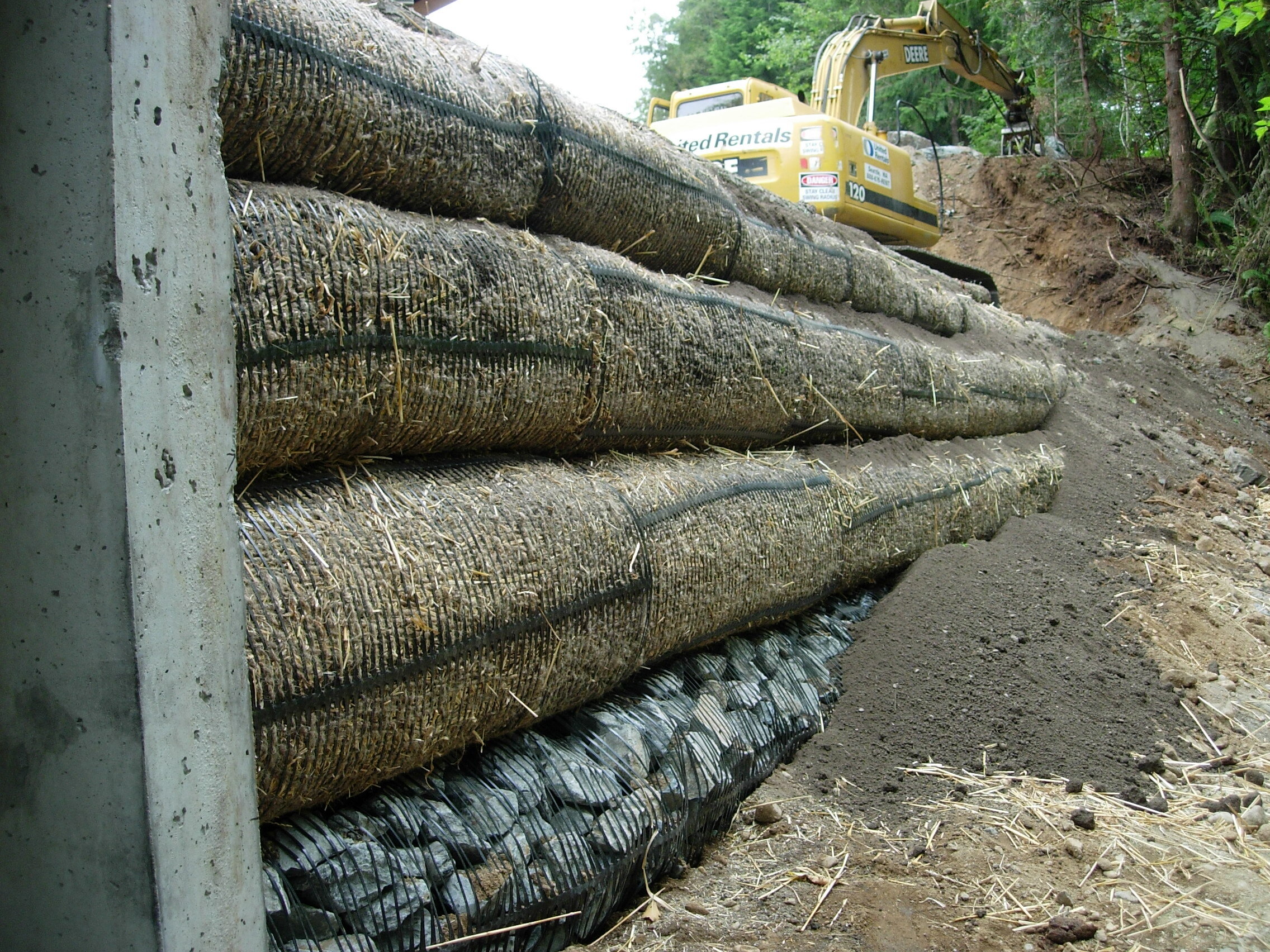
Unfortunately, runoff water has an annoying tendency to collect junk along its pathway. That’s why the engineered design of both retention and detention ponds includes filtration in the form of PVC filters, textile fibers, natural fibers, or high density polyethylene (HDPE). Of course the filtration system will need to be properly maintained, otherwise you’re going to have the same unpleasant effect seen when your toilet backs up.
Consider how the filtration clean out component will be handled in the Road Maintenance Agreement (RMA). My RMA’s include maintenance requirements for the detention and retention improvements located within the roadway easement. For more on RMA’s see - https://www.landdevelopmentrealities.com/home/2020/8/11/rural-community-ccamprs-for-land-developers .
Earth lined drainage swale :
Filtration / detention / retention / and controlled release example:
The picture below is of an earth lined drainage swale system. I built a bridge over a stream for a project and the idea was to route runoff from the bridge deck and road crown, collect and retain it within the swale, and distribute it in a controlled way as earth filtered outfall into the protected stream below. The strategy was to maintain, as closely as possible, the natural stream recharge rate. It was a costly pain in the “you know what”, but it worked great!
Subsurface conditions:
West of the Cascade Mountains in the Pacific Northwest you tend to find varying geotechnical conditions that have major effects on surface drainage. One of them is subsurface clay layers. The presence of clay found through geotechnical site work has caused many a developer to find that there is not as much useable area as originally thought.
Clay formations limit downward absorption after the soil is saturated and then you find either standing wetlands or emerging springs downslope. When considering drainage requirements it’s not good enough to look at surface conditions. This is where geotechnical engineering that combines geophysics, geology and hydrology comes into play, not only in overall project design but also in how complex the drainage plan has to be. All this factors into cost and ultimate profitability. For more on hydrology, see: https://www.landdevelopmentrealities.com/home/2020/8/3/v09ipvf9g9osk15z75xgdv5wskbiit-fktfy-jb8nf-m6zys .
Soils surveys:
Soil surveys are available and are usually presented by county or township. Soil surveys are done to identify the exact soil series present in the area and to detail the specific series types by mapping them.
The data can be sliced and diced in many ways and presented with the use of Geographic Information System (GIS) mapping, as well as static or live data visualization tools. For a land developer looking to acquire land in an area where he is unfamiliar with the soil conditions, it’s a good idea to review the available soil surveys.
Natural drainage basins:
As we’ve seen, the drainage plan for a plat application is going to be reviewed for both onsite and off site impacts. Consider a hypothetical 100,000 acre rectangle, within which there is a 120 acre project application. Rainfall, snow melt, flooding, hail, sleet and sub-surface flow will route into natural collection areas or catchments. Each catchment tends to interconnect with other catchments by surface and/or subsurface means.
To the extent that the 120 acre project changes the natural flow into the regional catchments, provisions will be required in the drainage plan design to account for it. Just remember that drainage design and approval is not just project specific, regional considerations are also involved.
Getting real about drainage plans in land development:
First of all, it’s not really that hard. All we are trying to do is to figure out how to take natural water flow and artificially route it in a way that keeps the project dry where it is supposed to be, while not messing up the surrounding area.
Having said that, it can be seen that the execution of this simple goal can be complex since multiple factors need to be fully accounted for in the engineered drainage plan. I’ll wrap this up with a key thought that involves the construction phase of a drainage plan.
If your impervious surfaces and road crowns create the proper slope, your point and channel drainage will collect and route runoff water as planned. If the channel and point drainage systems route runoff to a correctly designed and constructed detention or retention pond, you’re good. If the detention or retention pond is properly engineered, constructed and maintained, you’re golden. If you screw any of this up, then … “oh well” …..
Suggestion: Always be physically present on-site during drainage construction to oversee and prevent the “oh well….” part! Good luck!


